- Home
- Florida History
- Florida Heritage Sites
- Pensacola Scenic Bluffs Highway
PENSACOLA SCENIC BLUFFS HIGHWAY
By Mike Miller May 19, 2025
OVERVIEW
The Pensacola Scenic Bluffs Highway is an 11-mile drive along U.S. Highway 90 in Pensacola, Florida. It stretches from the Bayou Texar Bridge to the Escambia River Bridge.
The route offers views of Escambia Bay and red clay bluffs. Wetlands, forests, and parks line the path. It’s a peaceful drive with natural beauty and history.
Designated as Florida’s first scenic highway in 1998, it attracts visitors seeking a quiet escape.
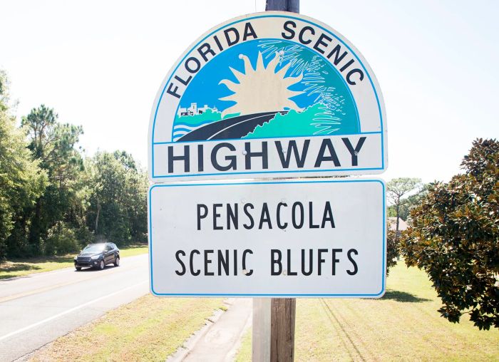
 Pensacola Scenic Bluffs Sign
HISTORICAL SIGNIFICANCE
The highway traces a route explored by Spanish settler Don Tristan de Luna in 1559. He noted the red bluffs as an anchorage point.
A hurricane sank his galleon San Juan, leaving the 16th-century wreck off the bluffs, undiscovered until 1992. In the 1750s, clay from the bluffs supplied brickyards. Some of those bricks built Fort Pickens.
In 1973, the state named it a Scenic Parkway. Local efforts in 1995 led to its scenic highway status, finalized after a three-year process.
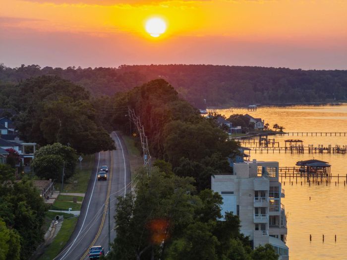
 Pensacola Scenic Bluffs Sunset
VISITING DETAILS
The highway is in east Pensacola, accessible from I-10 and I-110. Drive north from the Bayou Texar Bridge or south from the Escambia River Bridge.
It’s open year-round, with no set hours. Stop at Gaberonne for picnics or Stony Point for bay views. Spring and fall offer mild weather.
INTERESTING FACTS
- The bluffs are the highest natural points along Florida’s Gulf coastline.
- Red clay tints the sand pink at Bay Bluffs Park.
- The highway passes wetlands with diverse plants and animals, like fish and shellfish.
- Longleaf pine and live oak trees dot the route.
- An 1854 sawmill’s chimney remains at Chimney Park.
- The Blue Angels sometimes practice overhead, visible from the highway.
- Local groups maintain the corridor to preserve its beauty.
- The route inspired a trolley tour and bay cruise to highlight its history.
PENSACOLA SCENIC BLUFFS HIGHWAY WEBSITE
LOCATION MAP

Florida is the fastest-growing state in the United States and also the fastest-changing. If you see anything in this article that has changed or is in error, please let me know.
Thousands of Florida fans subscribe to our free daily Ezine, Florida Heritage Travel and we have 130,000 followers on Facebook.
By Mike Miller, Copyright 2009-2026
Florida-Back-Roads-Travel.com
Florida Back Roads Travel is not affiliated with or endorsed by Backroads, a California-based tour operator which arranges and conducts travel programs throughout the world.
